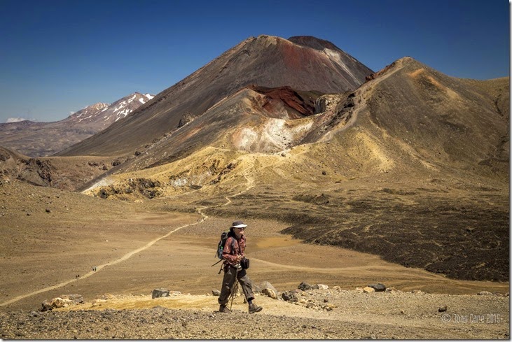
It was an early morning start at 5:30 to prepare ourselves for this much talked about and awarded day hike - the Tongariro Crossing, considered by many as the best hike in New Zealand.
Catching the extortionate door to door bus from the hostel to the beginning of the trail was easy enough but at $45 per person.. Let's just say the bus companies are taking the cash in.
The hike itself is free which is nice to see as many natural sights of New Zealand have been fenced off and have tourists charged to see the view or natural phenomenon.
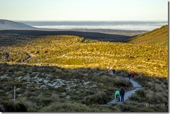
So, the starting point for the hike begins at 1150m in altitude and climbs immediately but progressively, the track is in now way difficult to follow with sturdy wooden walk ways wide enough to support even the biggest of people attempting to do the hike.
As it was still early, the beginning of the hike helped out those who were still picking the sleep out of their eyes as they were adjusting themselves to the briskness of the morning but as the hundreds of people walking towards the high peaks the sun slowly rose above resulting in everyone removing layers.
Thankfully we chose the right day to do this hike as it was gorgeous weather without a single cloud lingering overhead, the weather here can be unpredictable and many miss out on even seeing Mount Doom as they are shrouded in cloud or blasted by the strong high altitude winds.
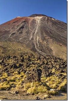
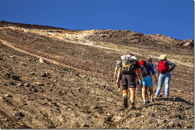
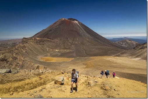
At the turn off point where hikers had the option to climb to the top of Mount Nguaruhoe (mount Doom) I parted ways with Marlieke as she is deathly scared of heights agreeing to see one another back at the hostel later in the day and so I tightened my sneakers shoelaces, hiking boots really aren't necessary only recommended, and tacked the very steep incline as quickly as I could.
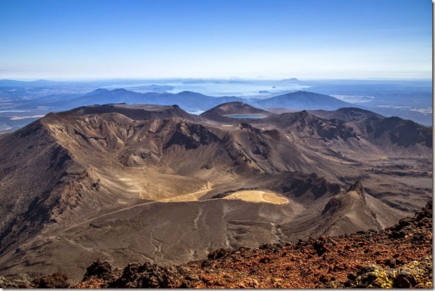
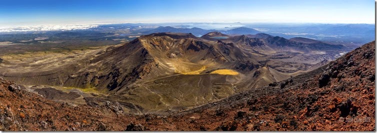
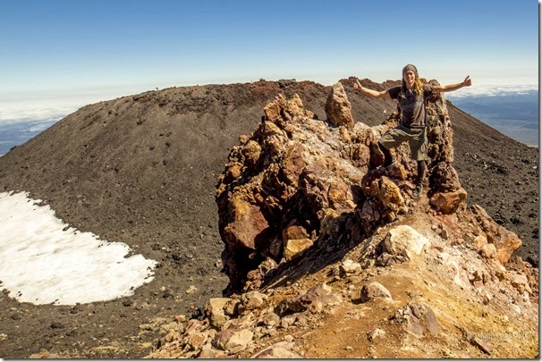
I made it to the top in 1:25 to be offered perhaps the most spectacular 360 degree view of New Zealand's most amazing landscapes, at 2308 meters in altitude and not a cloud in the sky I could see for hundred of kilometers. Truly breathtaking.
I stayed at the summit for a fair while admiring the views and chatting with the others who made it to the top. It's a shame Marlieke couldn't make it here.
The descent was interesting, it's the worst part of hiking for me, descending really ruins my knees but in this case to the base of Mount Doom the volcanic rock was soft, like sand and once getting use to it and understanding it wasn't about grip but only balance it was possible to take strides down the mountain which soon led to leaps and bounds down the mountain and before you knew it you were back at the junction of the trail enviably emptying your boots or shoes of rocks and volcanic sand.
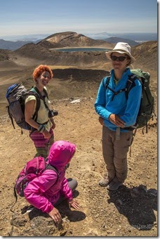
Following the main trail once again it led us, myself and two other touring cyclists I met on the descent up a steep ridge, to a point where I questioned whether Marlieke was able to combat her fear of heights and sure enough as I mentioned this there she was, having waited for me for the past 3 hours in need of my help to get down from this high point, a point where the way down was down a narrow ridge that followed the edge of a large crater. Without the help of the two others (Melody and Johannes) it would have taken me an age to get her to a level where she could feel secure but we did it and Marlieke was no longer freaked out.
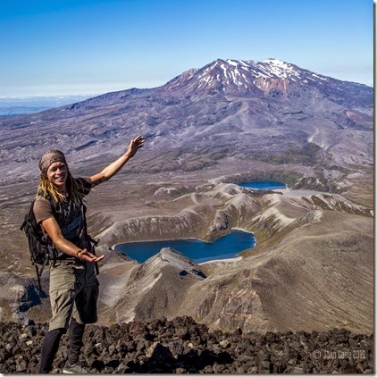
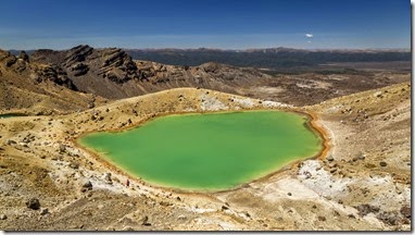
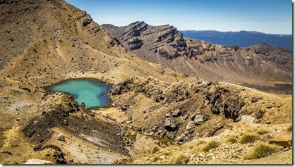
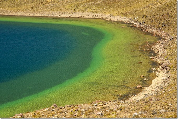
Passing by the emerald lakes and the much larger blue lake offered more amazing views of the region and you can understand why Peter Jackson used this area to film the 'Mordor' parts of 'The Lord of the Rings' here, the barren area had little to no visible life there.
The rest of the hike back to the parking lot where the bus would be picked up was grueling, a slow descent down a zigzagging path took much longer than expected but eventually and feeling exhausted we had finally made it having hiked 27km in total according to my GPS.
Apparently 70,000 people a year hike the Tongariro crossing, which in my opinion is not surprising as it was without doubt spectacular. A truly highly recommended hike.
Leaving Marlieke at the base of Mount Doom – Her fear of heights was what was holding her back.
Hiking up the sleep incline.
A few more pics of me enjoying the epic view
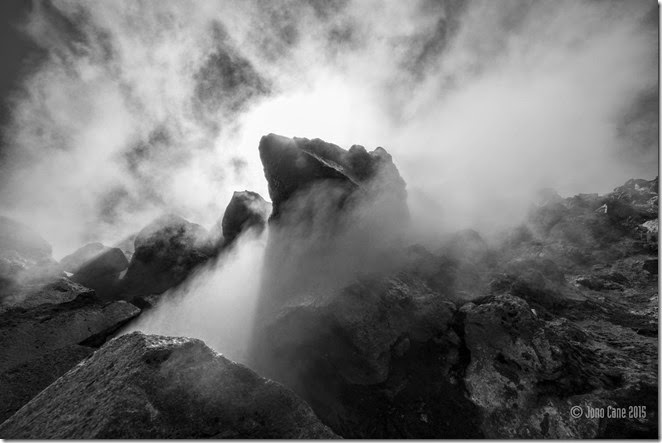
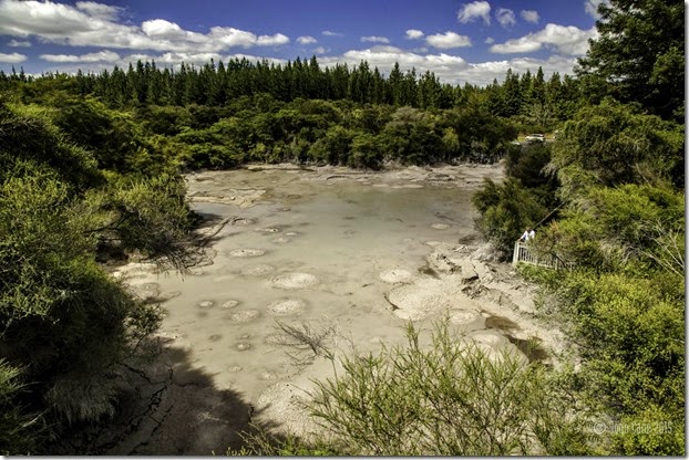
A thermal vent.
One of the best shots displaying the vista.
Meeting people along the way to help Marlieke descend the narrow ridge with steep drop offs (why She is on the ground holding onto a rock)
What a beautiful day to do this hike.. incredible!

